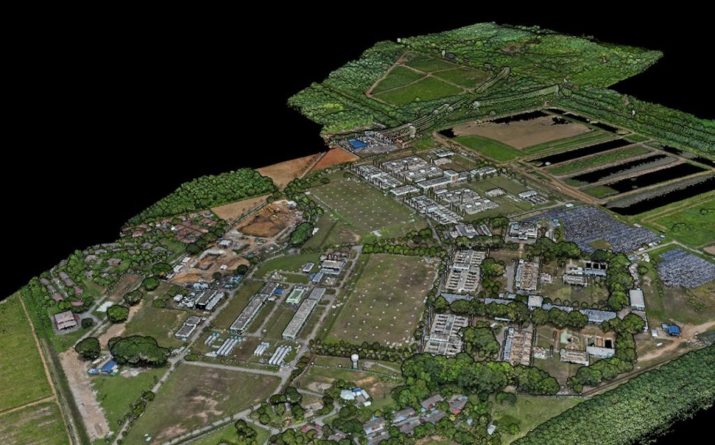
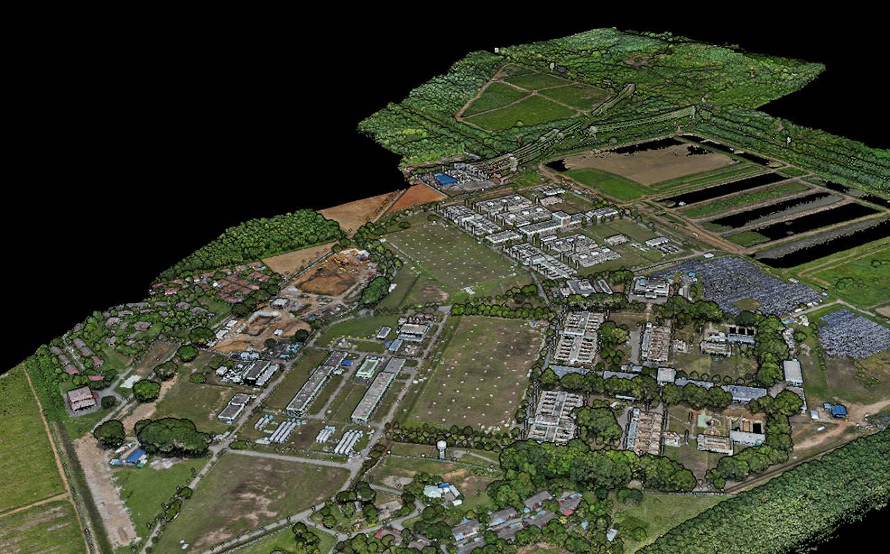
Aerial Survey – Using drones for surveying achieves the same level of topographic accuracy as traditional survey methods, while reducing time and manpower costs significantly
Aerial Mapping – Real time kinematic (RTK) drones capture mapping data with centimetre-level accuracy, enabling highly precise operations such as agriculture spot spraying and digital terrain modelling.
Why Use Drones In Survey & Mapping?
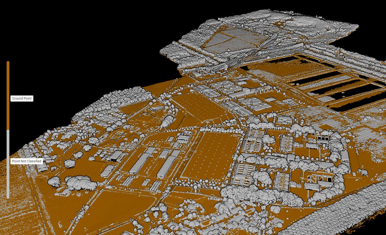
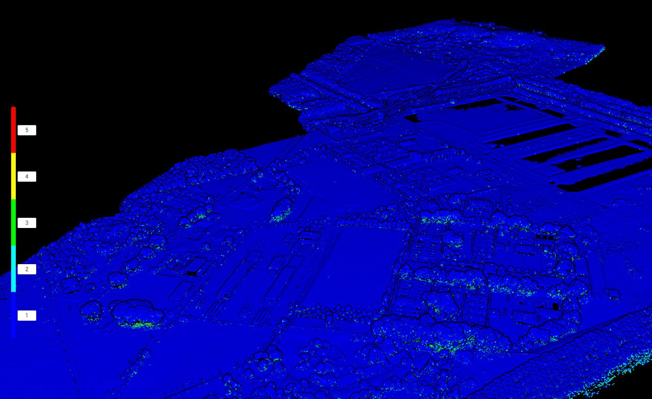
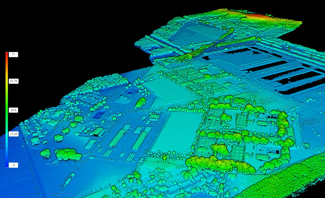
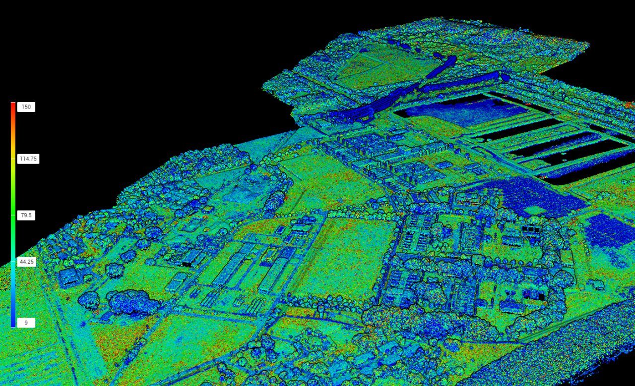
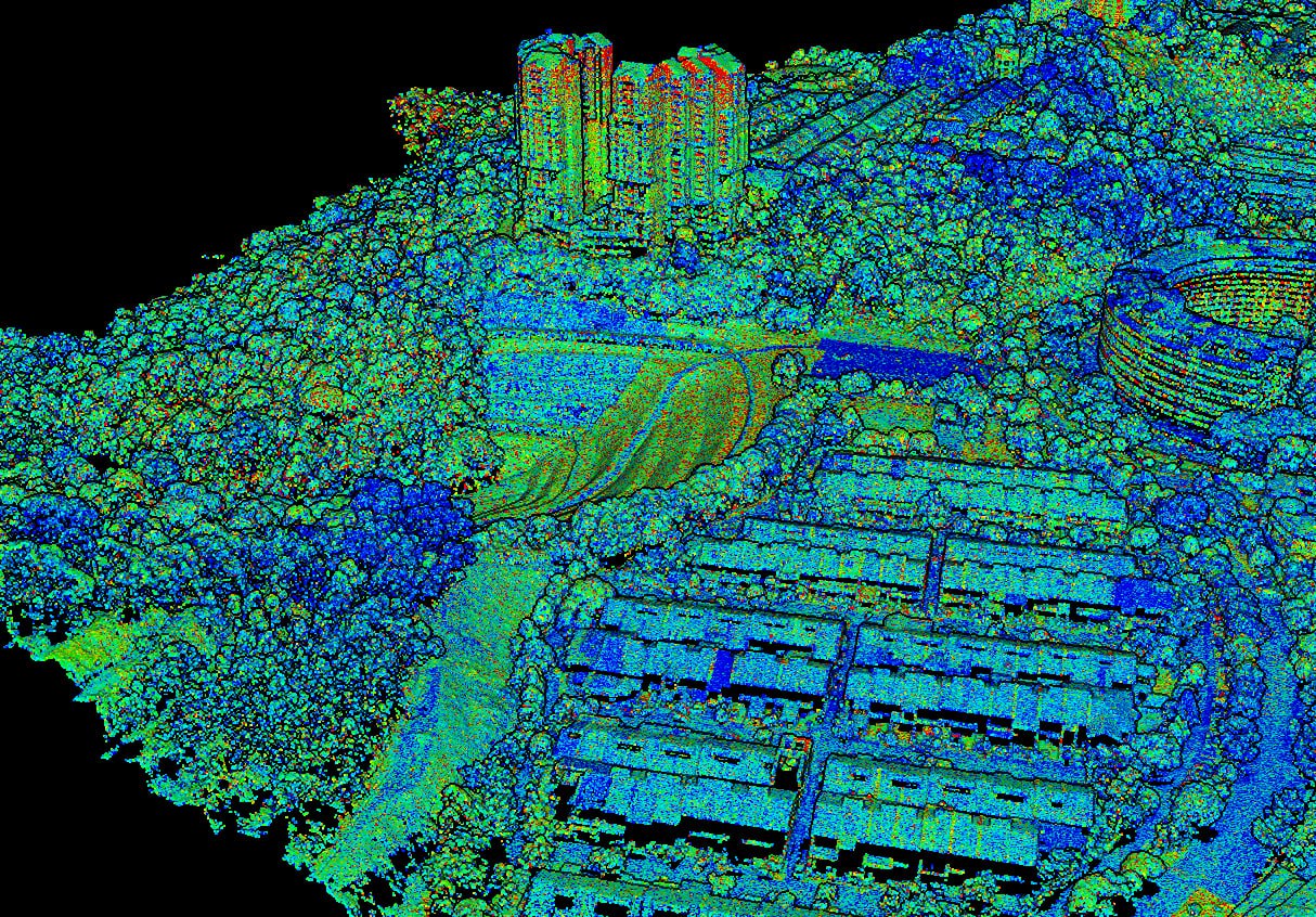
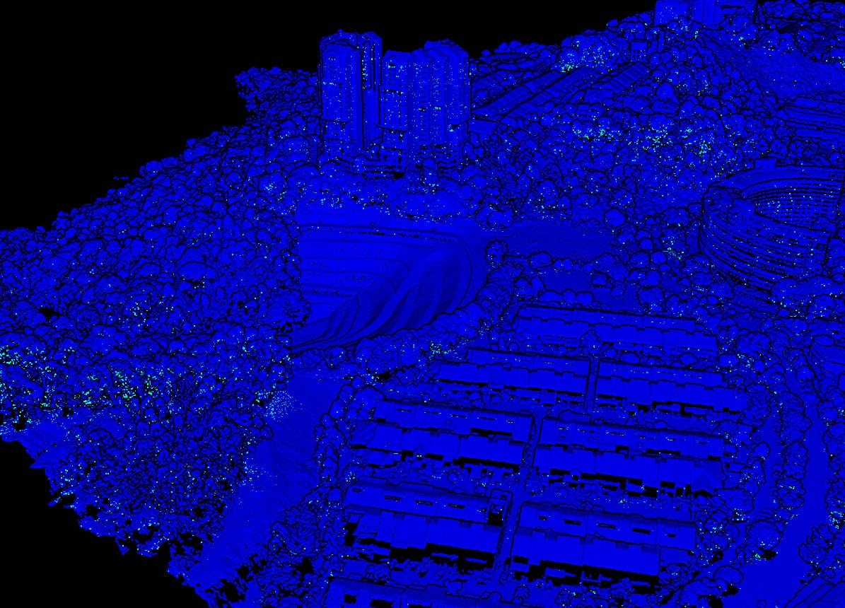
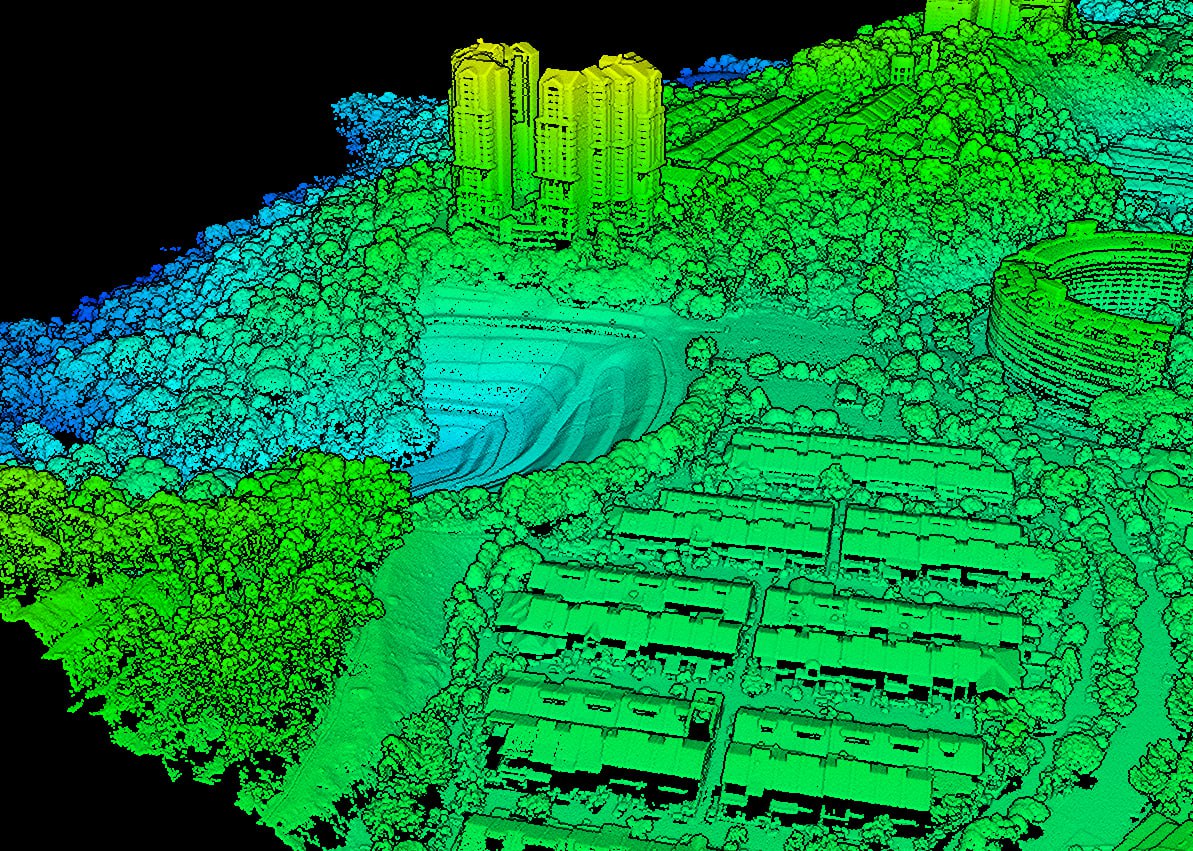
Industry-Level Data Accuracy – Real-time kinematic (RTK) drones capture rich topographic data at centimetre-level accuracy, enabling thorough terrain analysis in various formats (orthomosaic, point cloud, DTM, DSM, contour lines, etc).
Faster & More COst Effective – Operating on an automated navigation system, drones deliver the same quality of data at a fraction of the resources spent on traditional methods.
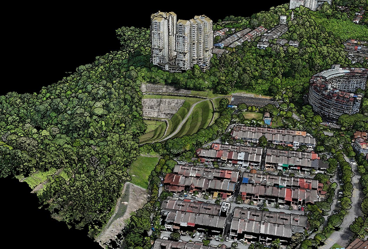
Excellent Performance On All Terrains – Unlike tranditional grounded methods, drones are able to traverse challenging terrain easily, ensuring consistent and seamless data delivery in all environments.
Simplify Aerial Mapping Data Management Into Three Simple Steps