
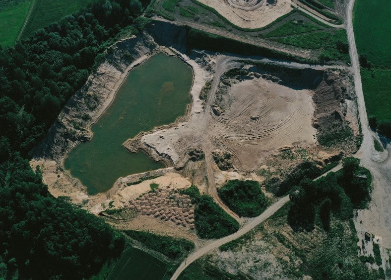
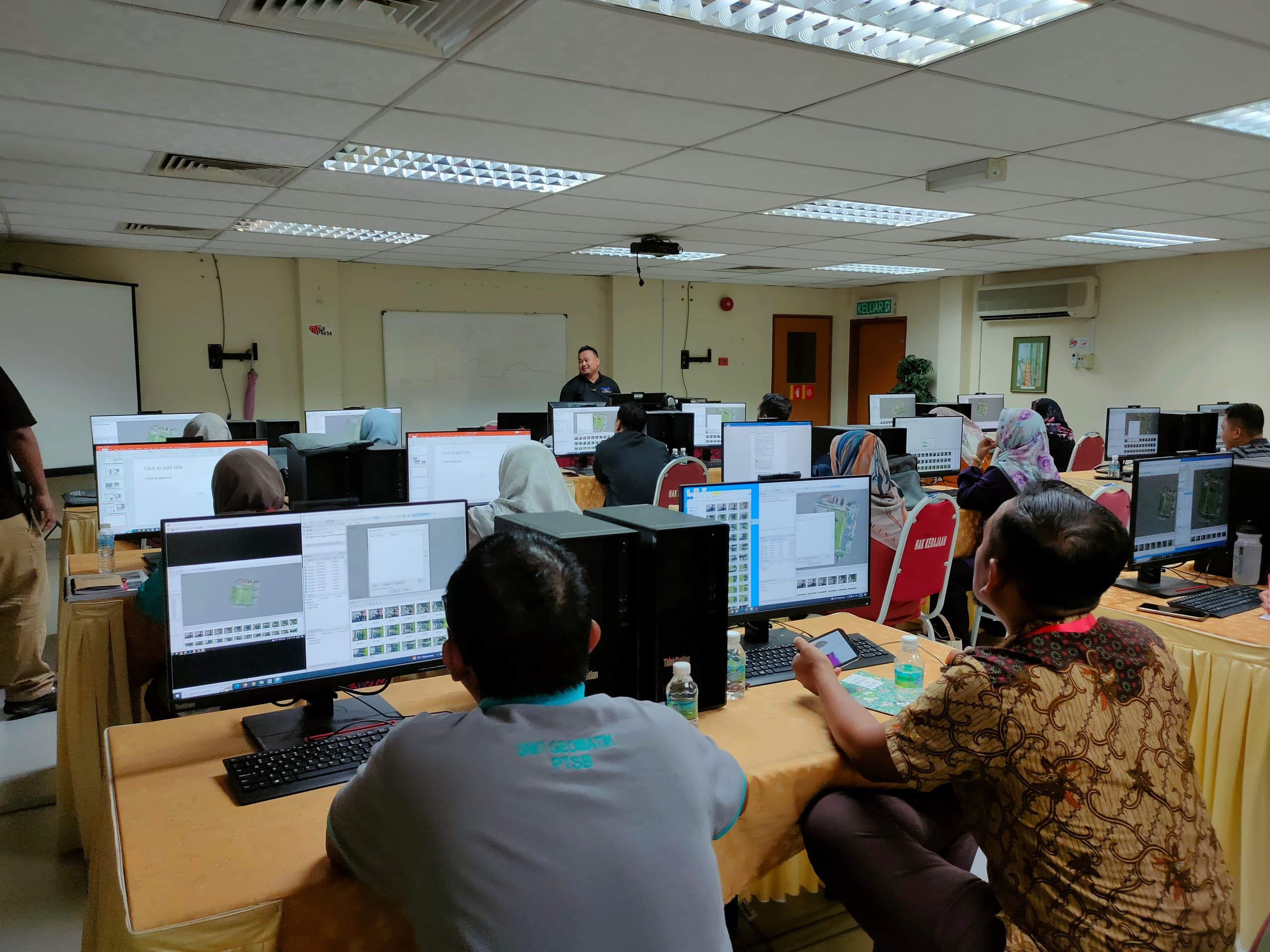
Digital Photogrammetry
Converting images into detailed and accurate digital maps.
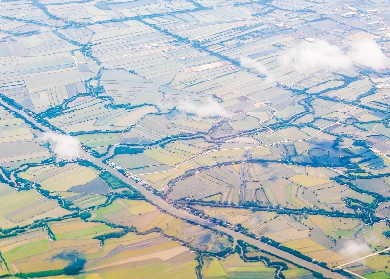
Spatial Analysis
Analyzing geospatial data to uncover patterns and insights.

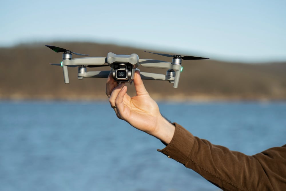
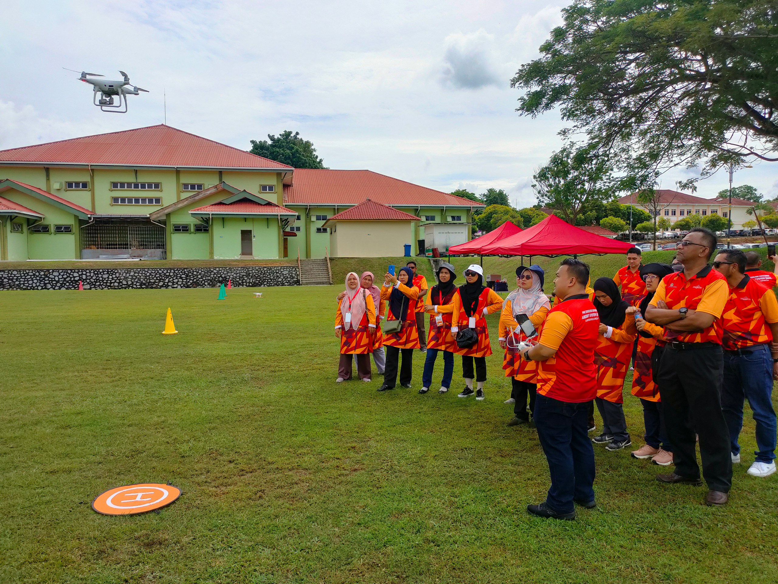
Remote Sensing
Gathering critical data through satellite and aerial imagery.

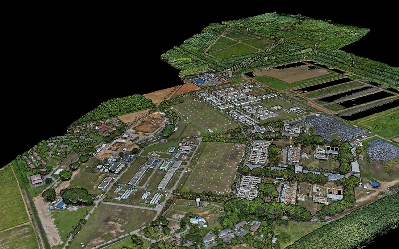
Digital Map Production
Crafting precise, high-quality maps for various applications.
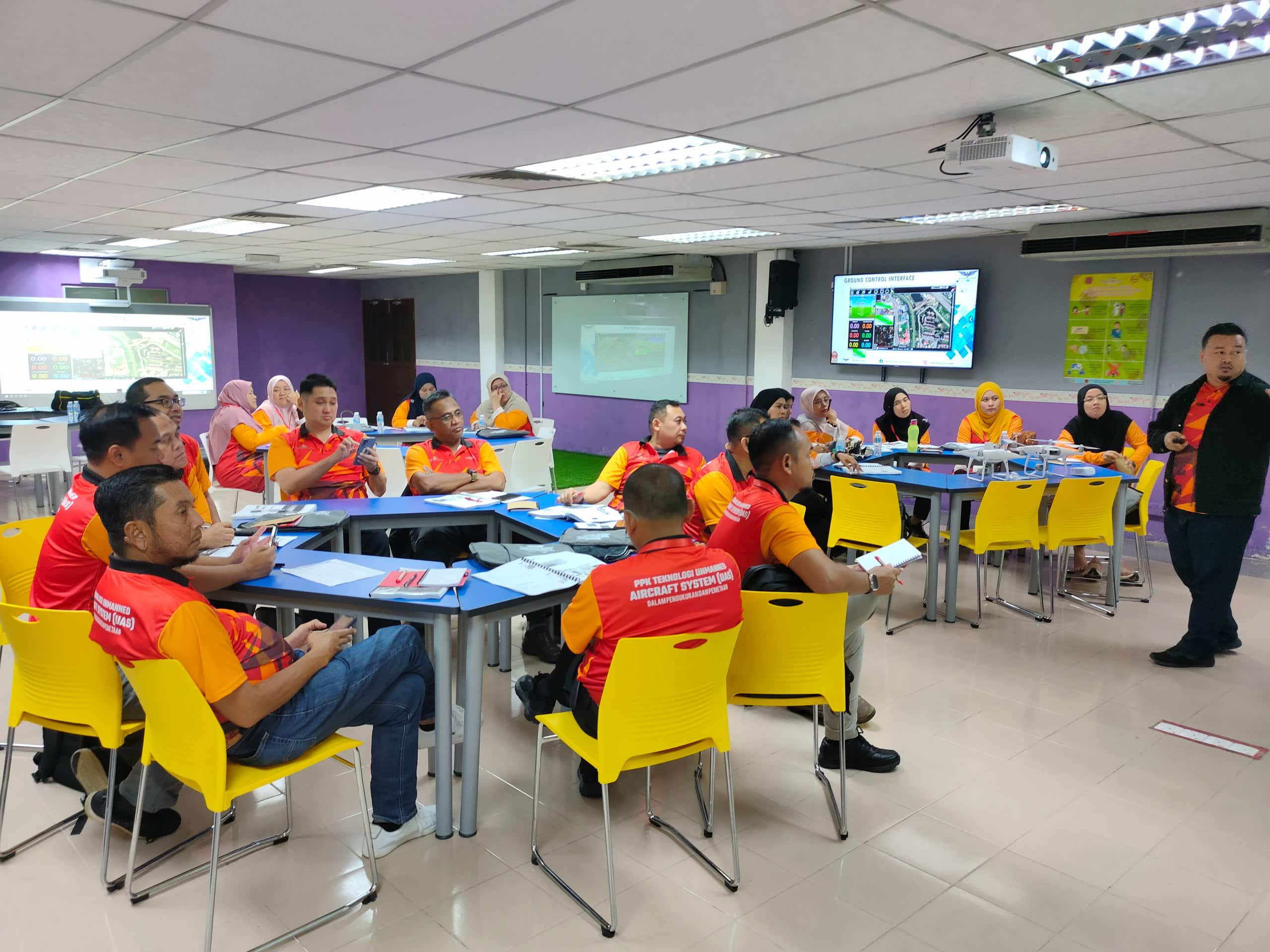
Automated Production Systems
Streamlining processes through automation for greater efficiency.


