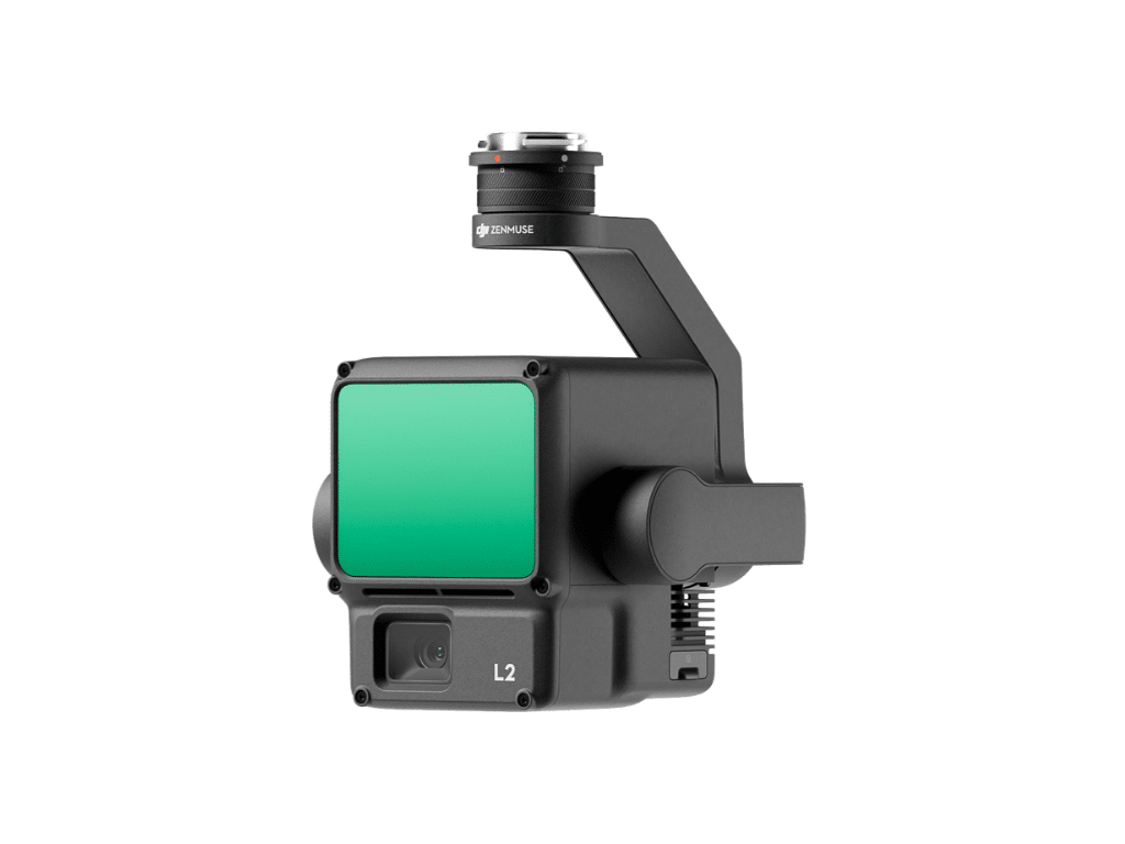
Thanks to its robust hardware, the L2 enables precise scanning of intricate subjects over extended distances and facilitates rapid point cloud acquisition. Users can conveniently preview, replay, and process point cloud models during operations, all on-site. Furthermore, DJI Terra generates Task Quality Reports, providing a streamlined, all-in-one solution to enhance overall efficiency. This empowers users to attain high-precision point cloud outcomes with a single, integrated post-processing workflow.