DroneMapper provides two licensed versions of its desktop photogrammetry software, REMOTE EXPERT and RAPID, as Windows applications. REMOTE EXPERT generates Orthomosaics and DEMs at selectable imagery resolutions processing up to 10,000 images per project. RAPID provides the same functionality as REMOTE EXPERT and is limited to 250 images per project. Both versions are easily licensed either perpetually for REMOTE EXPERT or yearly for RAPID.
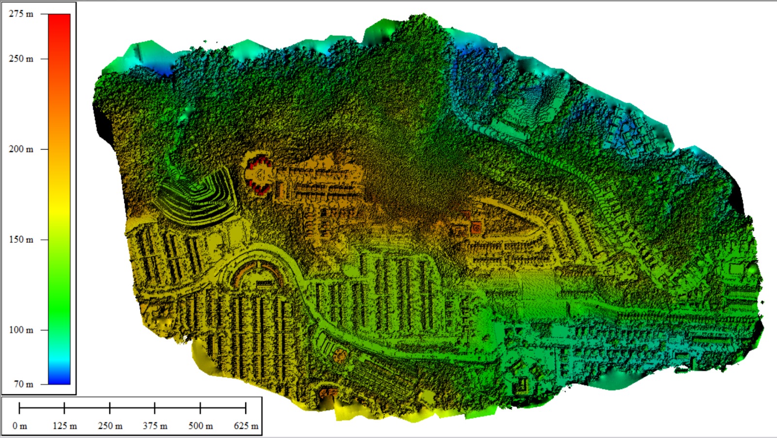
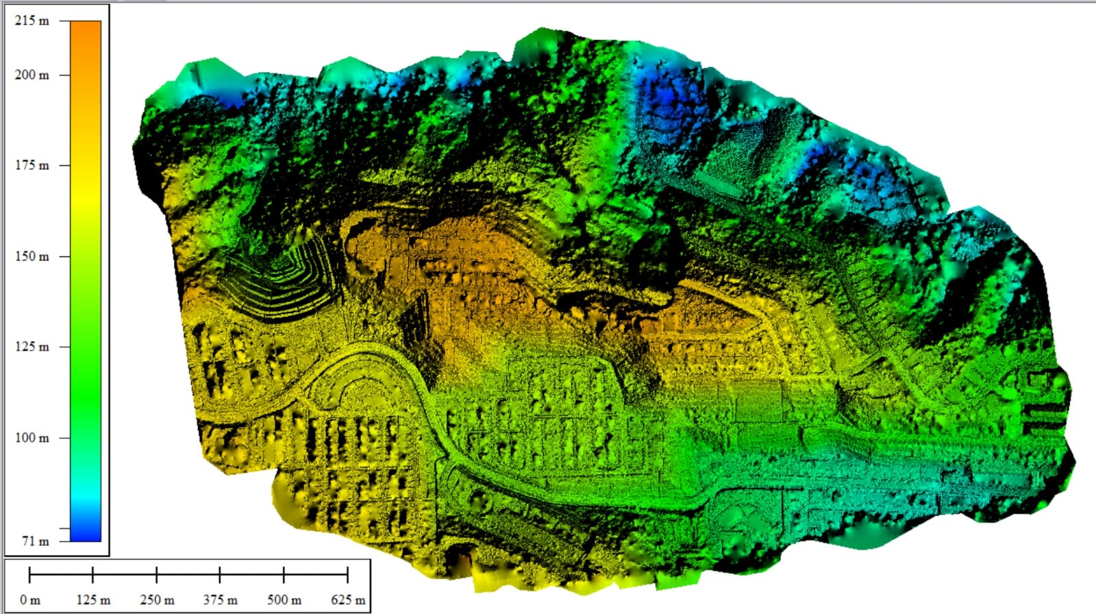
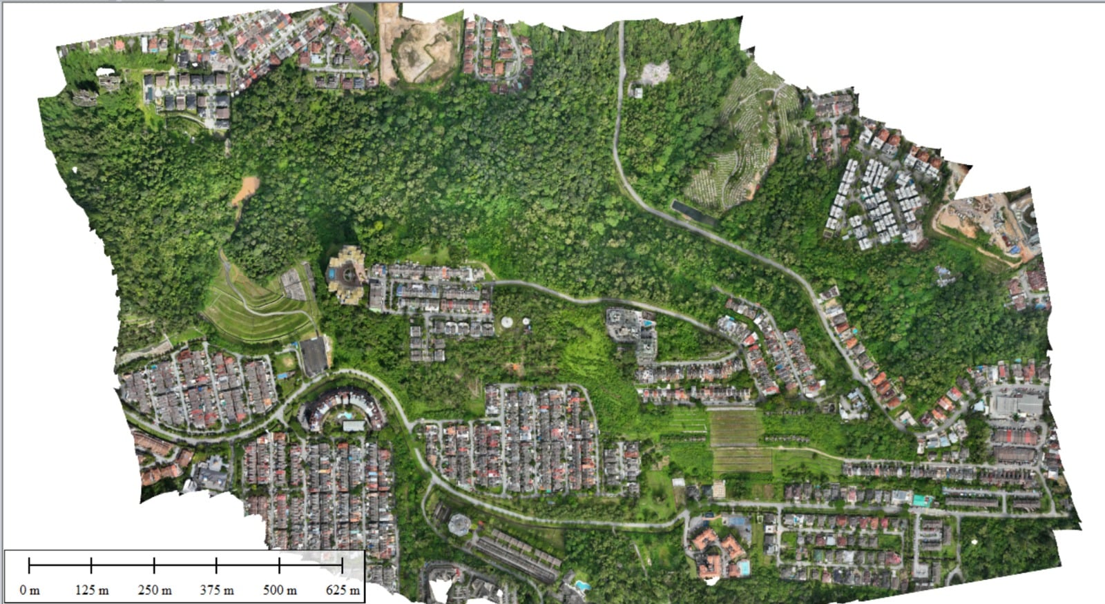
Georeferenced Orthomosaic, DEM, DTM, NDVI and Point Cloud Generation
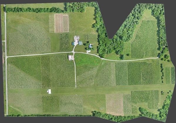
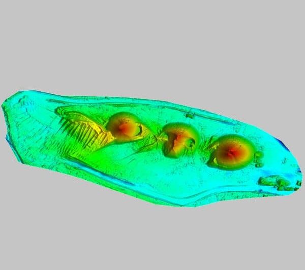
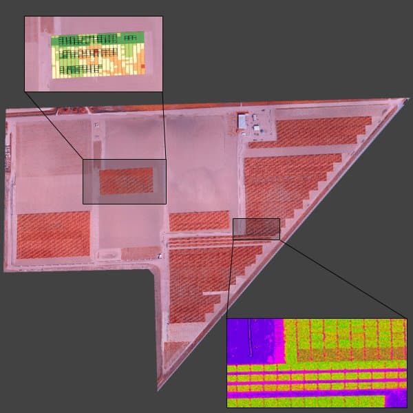
Derived from our photogrammetry products, we provide precision georeferenced contours, orthomosaic planimetrics, accurate volumetrics for stockpiles or reservoir capacity, radiometrically calibrated multi-band vegetation indices, biomass estimation, crop health maps and more.
Precision Agriculture and Enterprise Solutions
Large Areas of Interest (AOIs) can require billions of pixels processed at the highest resolution, and these files can get huge. We handle these big data issues on our cloud servers and provide automated data analytics for extracting and illustrating critical parameters of interest.
Drone Mapping Software, Cloud Processing, Flight Operations,
Land Survey, Remote Sensing and GIS Services
We are an innovative company specializing in photogrammetry and the extraction of value-added products from your imagery. We generate georeferenced Orthomosaics, Digital Elevation Models (DEMs), Digital Terrain Models (DTMs), point clouds, textured mesh 3D models and GIS products for a large set of market segments. We operate a Software system, provide licensed desktop software, conduct manned and unmanned aerial imagery collections and provide consultation and training specific for your application(s). Please review some of the use cases on the site and feel free to contact us for questions and discussion.